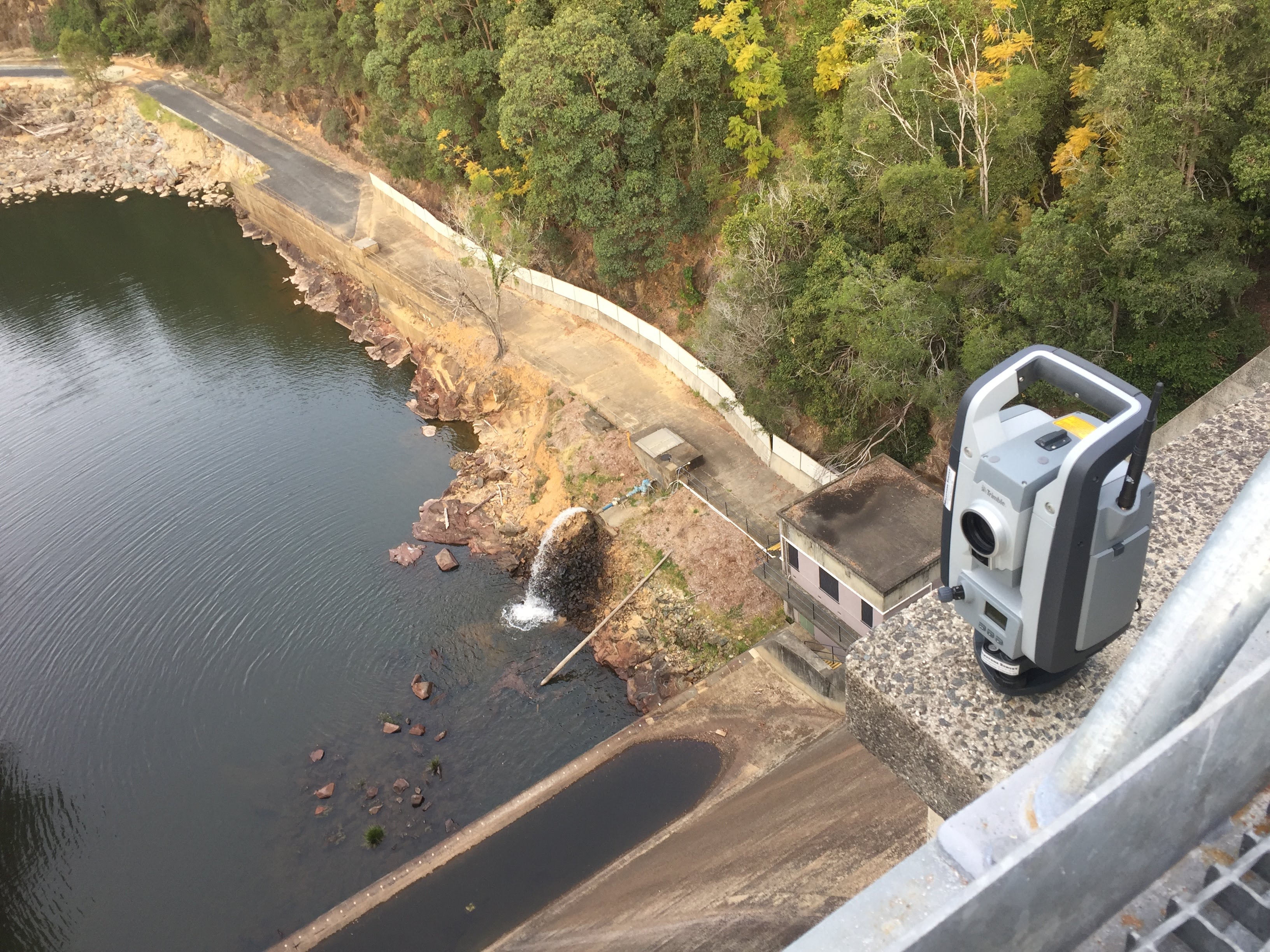
Built on an enduring local heritage, Land3D delivers premium surveying services statewide.
Our team of licenced professionals combines precision and local expertise to support Tasmania's growth—from boundary identification, building setout and subdivisions, through to major infrastructure projects.
Land3D continues a surveying practice with real roots in Tasmania. The business was established in 1989 as Peter Binny Surveys, built on Peter Binny's 50 years in the surveying and spatial sciences industry. Russell Smith took over as owner and director in 2015, continuing that standard of work across Tasmania.
In 2026, Russell rebranded the business as Land3D Surveying & Spatial Services, bringing modern 3D spatial data capture and equipment to the practice's long-standing surveying work across Tasmania.
.PNG)
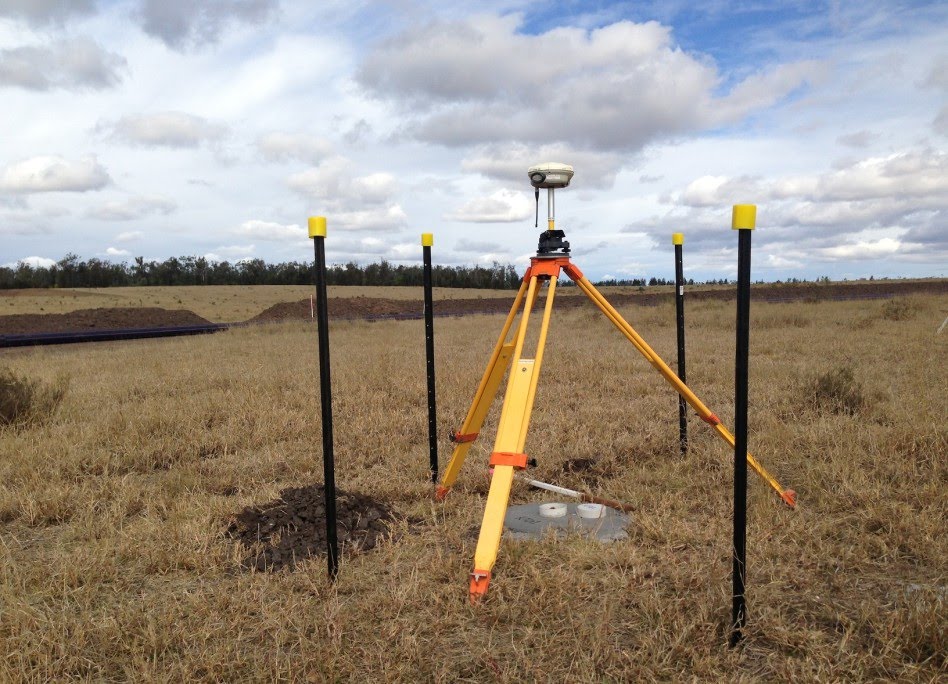
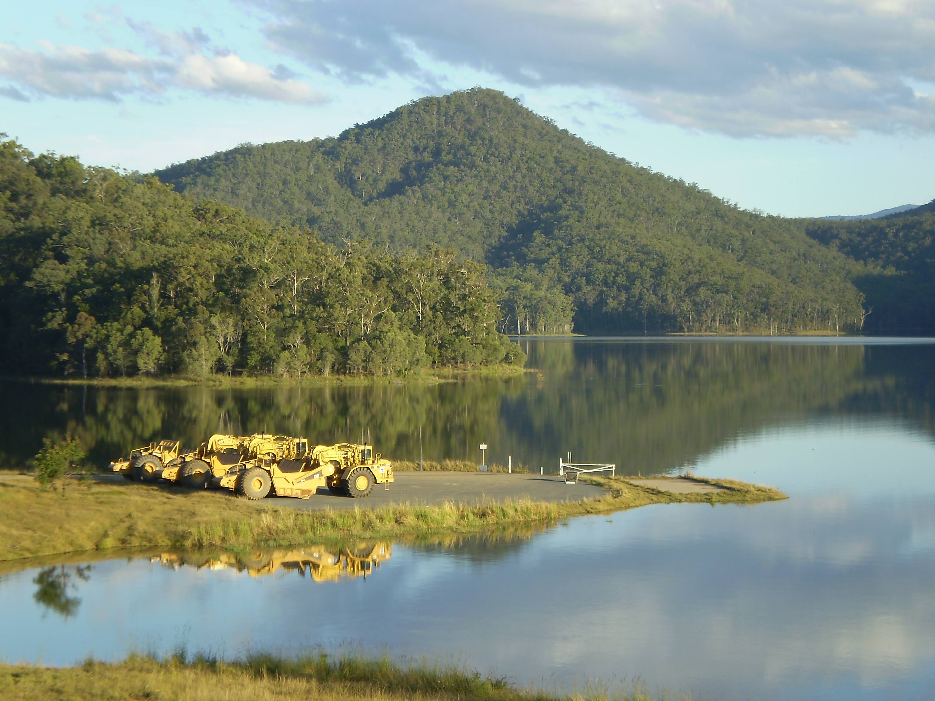
Land surveying carried out by registered land surveyors, using modern equipment and 3D spatial data capture.
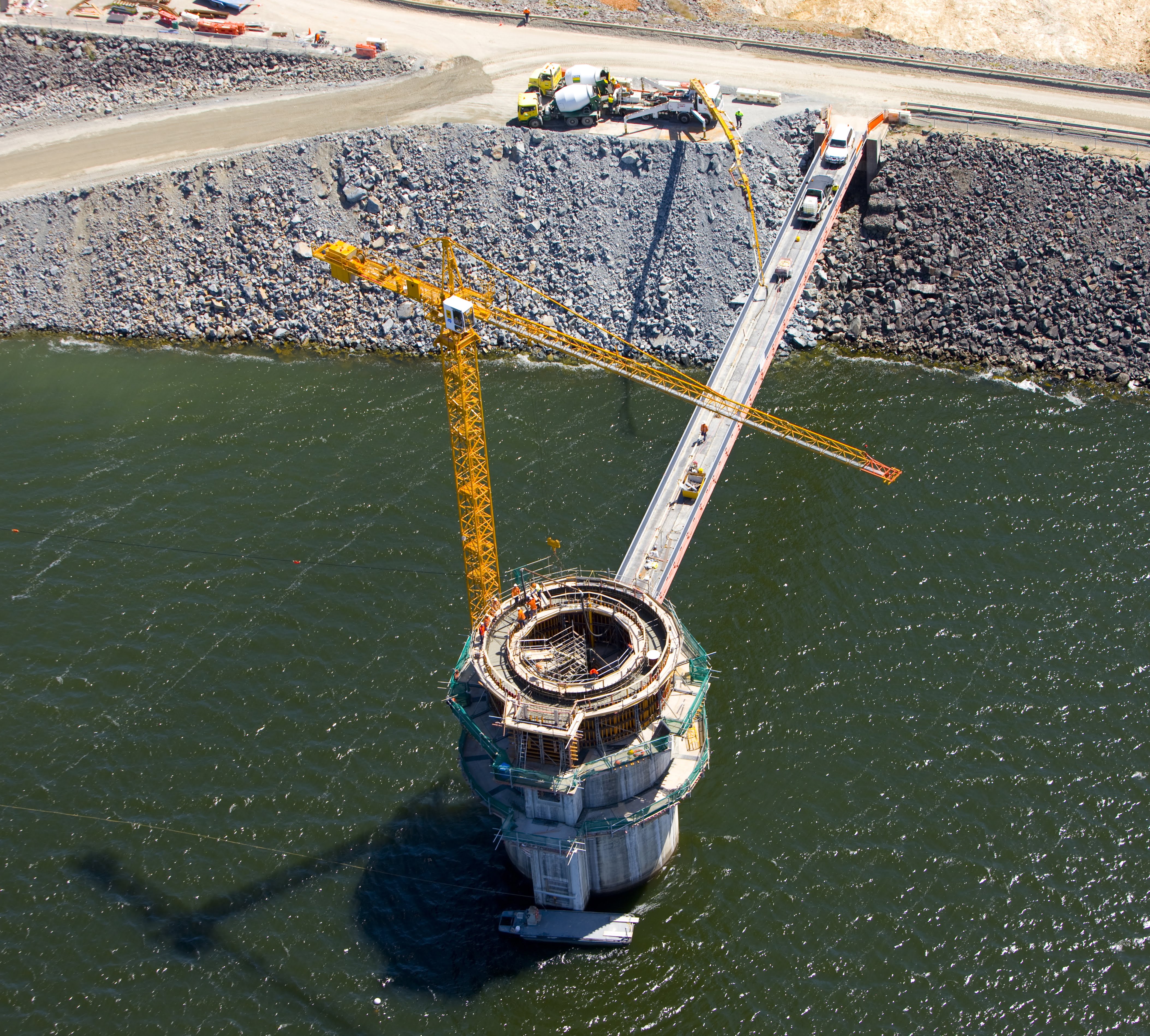
Tasmanian-based, working across the state, with decades of combined surveying experience.
3D spatial data capture and modern survey equipment mean accurate results, delivered efficiently.
Land surveying work is carried out by registered land surveyors.
To better understand the geometry of your needs we built a custom enquiry tool.
Draw some shapes on your land so we can understand how we can help.
Get a Quote